| Auftragsgegenstand: | Landschaftsplan |
|---|---|
| Auftraggeber: | Gemeinde Bad Zwischenahn Am Brink 9, 26160 Bad Zwischenahn |
| Bearbeitungszeitraum: | 6/1989 - 9/1992 |
| Bearbeiterin/Bearbeiter: | Dipl.-Ing. Heike Ahlswede Dipl.-Ing. Heike Heinemann, geb. Bissbort Dipl.-Geogr. Waltraut Frommherz |
| Aufgabenstellung: Anlaß für die Vergabe des Landschaftsplans war die Absicht der Gemeinde Bad Zwischenahn, ihren Flächennutzungsplan fortzuschreiben. Das Bundesministerium für Umwelt, Naturschutz und Reaktorsicherheit förderte dies durch Einbeziehung in sein bundesweites Erprobungs- und Entwicklungs-Vorhaben "Landschaftsplanung und Fremdenverkehrsplanung". Zweck dieses Vorhabens war die Erprobung neuer Wege der Zusammenarbeit und Koordinierung von Landschafts- und Fremdenverkehrsplanung sowie die modellhafte Entwicklung von Inhalten und Methoden für eine an den aktuellen Erfordernissen des umwelt- und sozialverträglichen Tourismus orientierte Fremdenverkehrsplanung. Im Hinblick auf eine das Prinzip der Umweltvorsorge berücksichtigende Fremdenverkehrsplanung und die Effektivierung der Landschaftsplanung in Fremdenverkehrsgemeinden haben die Ergebnisse des E+E-Vorhabens, die in der Schriftenreihe des BMU veröffentlicht wurden, Beispielcharakter. Wesentlicher Teilaspekt im Zielkonzept des Landschaftsplans für das Gemeindegebiet ist die Sanierung des Zwischenahner Meeres. Aus den zu diesem Teilziel formulierten Entwicklungsgrundsätzen (u.a. "Erhaltung und Entwicklung naturnaher Ufervegetation", "Wiederherstellung naturnaher Verhältnisse in geschädigten Uferzonen", "Verminderung des Schad- und Nährstoffeintrags") wurden Maßnahmen abgeleitet, die das gesamte Einzugsgebiet des Zwischenahner Meeres in die Umsetzung einbeziehen. Der Gemeinderat hat den Landschaftsplan inzwischen (einstimmig) als "Richtschnur für die zukünftige Umweltpolitik der Gemeinde" beschlossen. | |
| Veröffentlichungen: |
|
|---|
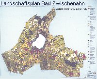
| Kartenverzeichnis | Karte 1 "Höhenschichten" M 1 : 25.000 | 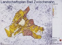
|
|---|---|---|
| Karte 2 "Vorgaben der überörtlichen Naturschutzplanung" M 1 : 25.000 | 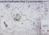
|
|
| Karte 3 "Zustand um die Jahrhundertwende" M 1 : 25.000 | 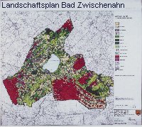
|
|
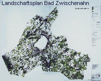
 | Karte 4 "Biotoptypen und Strukturmerkmale" M 1 : 10.000 |
|
 | Karte 5 "Biotoppotential" M 1 : 10.000 |
|
 | Karte 6 "Erholungspotential" M 1 : 10.000 |
|
| Karte 7 "Bodentypen, Schutzbedürftige Böden" M 1 : 25.000 | 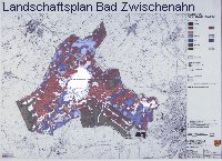
|
|
| Karte 8 "Natürliches ackerbauliches Ertragspotential, Oberflächennahe Rohstoffe" M 1 : 25.000 | 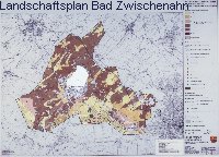
|
|
| Karte 9 "Winderosion" M 1 : 25.000 | 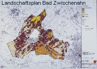
|
|
| Karte 10 "Oberflächengewässer" M 1 : 25.000 | 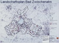
|
|
| Karte 11 "Mittlerer Grundwasserstand" M 1 : 25.000 | 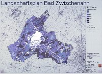
|
|
| Karte 12 "Grundwasserneubildung" M 1 : 25.000 | 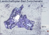
|
|
| Karte 13 "Verschmutzungsgefährdung durch Nitrat und Phosphat" M 1 : 25.000 | 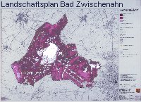
|
|
| Karte 14 "Physiko-chemische Filtereigenschaften" M 1 : 25.000 | 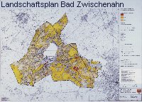
|
|
| Karte 15 "Klima / Lufthygiene" M 1 : 25.000 | 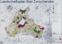
|
|
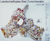
| Karte 16 "Entwicklungsziele" M 1 : 25.000 | 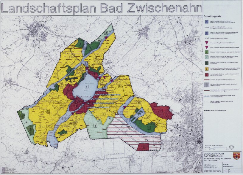 [158 KB] |
|
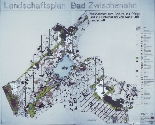 [82 KB] | Karte 17 "Maßnahmen zum Schutz, zur Pflege und zur Entwicklung von Natur und Landschaft" M 1 : 10.000 |